Assessment of surface properties and their dynamics via Close-Range Hyperspectral Imaging
Hyperspectral imaging offers numerous advantages for studying ecosystem functioning and dynamics :
- It is non-intrusive,
- It allows high-frequency temporal characterization of a wide range of geoscience objects (e.g., sediment load, soils) and biodiversity science objects (e.g., functional traits of vegetation cover, species assemblages),
- It is central to several Earth observation space programs.
Despite these advantages, on-site deployment of this technology remains limited due to the high cost of commercial instruments.
There are two main technological challenges :
- Supporting the design of spectro-imagers tailored to the specific needs of our scientific communities (particularly in terms of spectral resolution),
- Reducing the unit cost of these instruments to enable wider deployment across our research sites.
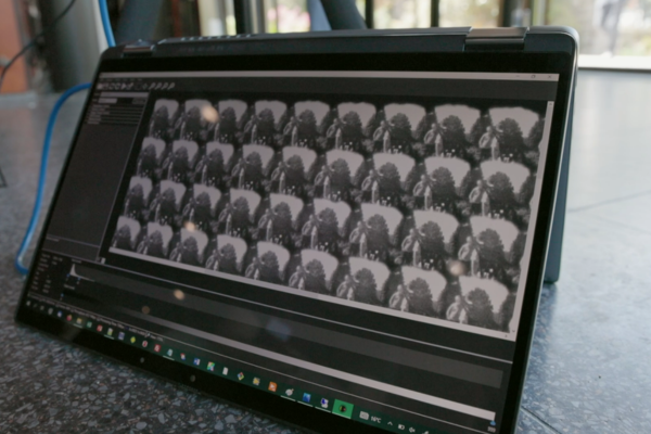
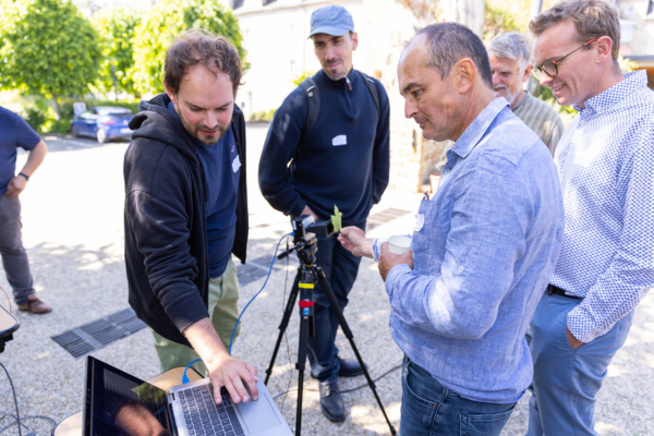
The hyperspectral camera developed within the TERRA FORMA project builds upon instrumentation research carried out at IPAG, which led to the creation of an initial ultra-compact (15x4x4 cm³), modular spectro-imager prototype for greenhouse gas measurements from space. This concept has been adapted for ground-based measurements of the optical properties of continental surfaces and rivers. It stands out from current imagers due to the simplicity of its optical system, integrated close to the detector, making the device particularly robust and compact. Additionally, only a single exposure—ranging from a few tens of milliseconds to one second—is needed to obtain a complete and coherent hyperspectral cube, which is crucial for acquisition from a moving drone.
This development is made possible through a partnership with Pyxalis, a company adapting its detectors to meet the needs of this instrumentation. The partnership also helps reduce costs, as the instrument and software development is carried out by IPAG. The prototypes currently being integrated provide 365 x 200-pixel images, with spectral resolution of a few nanometers from the visible to near-infrared range (440–800 nm).
Data from hyperspectral imaging enable better characterization and understanding of surface state dynamics. In this context, it will help improve the characterization of :
- Sediment loads through spectro-colorimetric tracing,
- Functional properties of vegetation cover (phenology, water and nitrogen content, photosynthetic activity).
All this information is essential for better constraining and parameterizing land surface and hydrological models. In this regard, close-range hyperspectral imaging complements data from remote sensing.
Themes : Biodiversity & Landscapes, Water Resources.


Vidéo
- Gousset S. et al. 2019. NanoCarb hyperspectral sensor : on performance optimization and analysis for greenhouse gas monitoring from a constellation of small satellites. CEAS Space Journal. 11(4), 507-524. https://doi.org/10.1007/s12567-019-00273-9
- Guerineau N. et al. 2019. U.S. Patent Application No. 16/313,721.
Updated on 21 juin 2025


