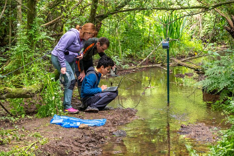
Radar-based river discharge measurement
Real-time river discharge measurement is a key challenge for water resource managers, particularly in situations involving risks to the population (e.g., flooding with early warning systems, overflow of wastewater treatment plants and related health hazards) or in managing competing water uses (e.g., drought conditions and regulatory restrictions). However, this data is difficult to obtain, especially in rivers heavily impacted by floods, which can drastically alter the riverbed morphology. Although many solutions exist (image analysis for surface velocity mapping, water level measurement with rating curves, etc.), they tend to be costly and/or reliant on field personnel.
The instrumentation - called Radar 2.0 - developed within the TERRA FORMA project combines radar-based water level and surface velocity measurements, potentially supplemented by a laser rangefinder for bathymetry measurements, enabling automatic redefinition of the riverbed profile. This system aims to provide direct, real-time discharge measurement without relying on water level–discharge rating curves. Key objectives include achieving an affordable cost (< €500–1000), offering an easy-to-use device, and incorporating LoRa-based communication for efficient data transfer and potential alert systems.
The availability of a low-cost real-time discharge sensor would represent a paradigm shift in continental water monitoring, enabling unprecedented spatial and temporal resolution in previously unmonitored rivers. The development of an easy-to-use probe would also allow non-specialists (e.g., anglers, hikers, students, citizens) to contribute to data collection, greatly increasing data availability while raising awareness of flood risks, water pollution, and the impacts of climate change.
Themes : Water resources

Updated on 21 juin 2025


